Ridge Trail
Design summary
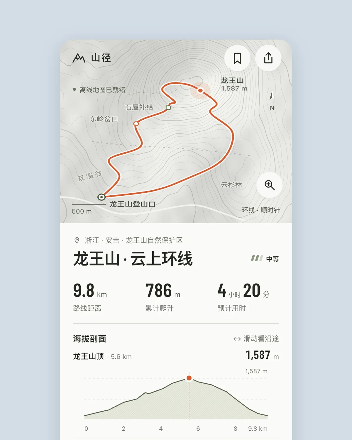
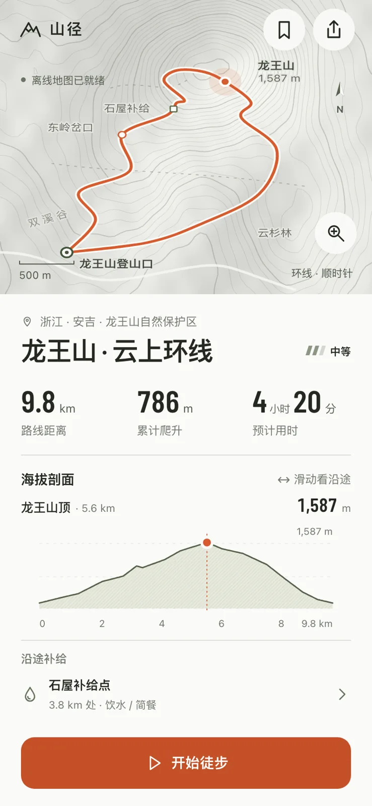
Ridge Trail covers route details, in-progress navigation, and completed-hike records for weekend hikers, using rock-grey contours, rescue-orange tracks, and clear elevation readings as a modern survey manual. Dragging the elevation profile moves the map position and readings together; both map and terrain are drawn in code.
Prompt
Product: Ridge Trail, a hiking route app for finding routes, checking elevation and difficulty, and getting live navigation once the hike starts.
Design three key screens: route details with a map, elevation profile, duration, and supply points; the hike in progress with distance to the next junction and remaining ascent; and a completed hike record.
Draw maps and terrain in code instead of using real map screenshots. Make the elevation or route presentation memorable.
Design the app screens at 390×844. Deliver `index.html` and `screens.html` with the three screens side by side.
View Chinese original
产品:「山径」,一个徒步路线 App:找路线、看海拔和难度、出发后实时导航。
设计 3 个关键屏:路线详情(地图、海拔剖面、用时、补给点)、正在走(离下一个岔路口多远、还剩多少爬升)、走完后的记录。
地图和地形用代码画,不用真实地图截图。记忆点放在海拔或路线的呈现上。
App 屏幕按 390×844 设计,交付 `index.html` 和把三屏并排的 `screens.html`。